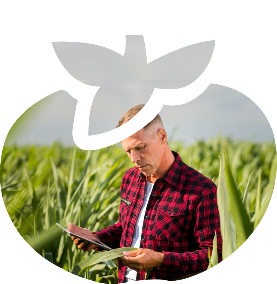
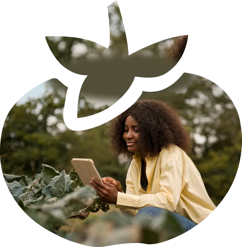
Using satellite data from the UN, & the implementation of Machine Learning, PlantVillage monitors biomass on a plot of land, giving farmers insight into how their crops are growing.
Associate professor of entomology and biology, Penn State
USA
AgroTechnology, Machine Learning, AI
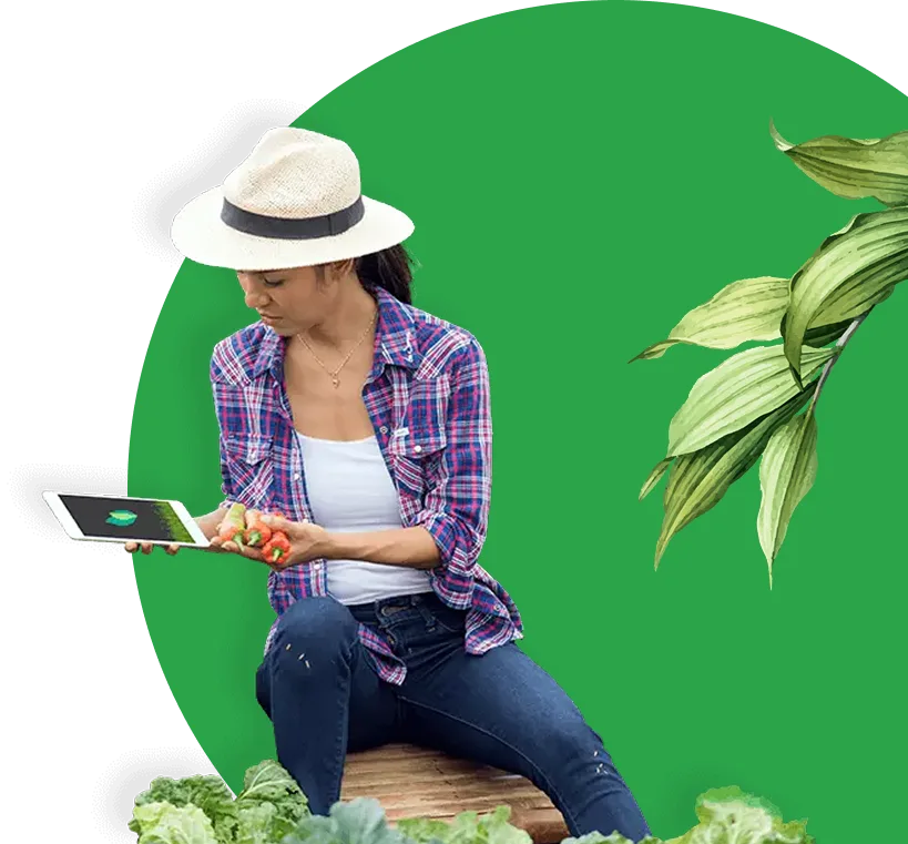
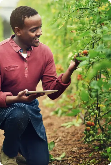
We are providing solutions to farmers and extension workers by leveraging advances in AI, mobile phones, drones, satellites, and nanotechnology. We don’t think technology alone is the solution, but we do believe they have the potential to help smallholder farmers.
tackle crop disease, adapt to the changing climatic condition, and save their crops from destruction.
Create a platform forknowledge providers to share critical information to growers around the world.
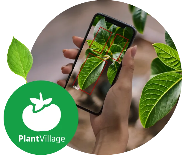
Application to couple with the device's camera to capture images of diseased plants and provides the user with a preliminary diagnosis with a high degree of accuracy.
Q&A forum for folks around the world to pose questions about farming.
Possibly the world's largest free library of science-based knowledge on plant diseases. The still-growing site covers 154 types of crops and more than 1,800 diseases and now houses the new image database.
The app offers advice that could help farmers learn about climate-resilient crop varieties, affordable irrigation methods, and flood mitigation and soil conservation strategies, among other best practices.
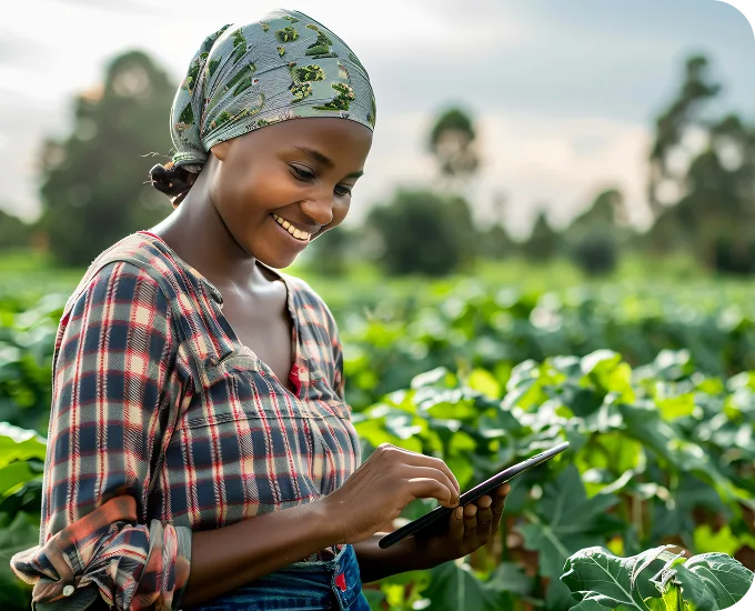
Farmers don't need much technical knowledge or literacy to use the app; they simply point a phone at the infested crop and the app will provide an accurate diagnosis using the talking AI assistant, Nuru.
A computerized plant diagnostic system that boasts an algorithm capable of diagnosing 26 diseases in 14 crops with 99 percent accuracy. In essence, computers have been “taught” to diagnose plant diseases by comparing the images of healthy and diseased leaves.
Once downloaded, the app does not require wireless access to cellular data or remote computing power .
"PlantVillage Nuru" can draw in data from the United Nations' WaPOR (Water Productivity through Open access of Remotely sensed derived data) portal, a database that integrates 10 years' worth of satellite-derived data from NASA and computes relevant metrics for crop productivity given the available water.
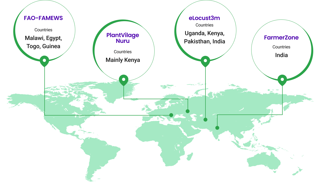
Used by United Nations across 70 countries and 21 languages to help growers manage the invasive fall armyworm.
Malawi, Egypt, Togo, Guinea
mainly Kenya
Uganda, Kenya, Pakisthan, India
India
The Penn State researchers rigorously tested the performance of the machine-learning models with locally sourced smartphones in the typical high light and temperature settings of an African farm. In these tests,
the app was shown to be twice as good as human experts at making accurate diagnoses,
and it increased the ability of farmers to discover problems on their farms.
APP downloads
active users
improved in yield
impressions
Clicks